An Antarctic Adventure
/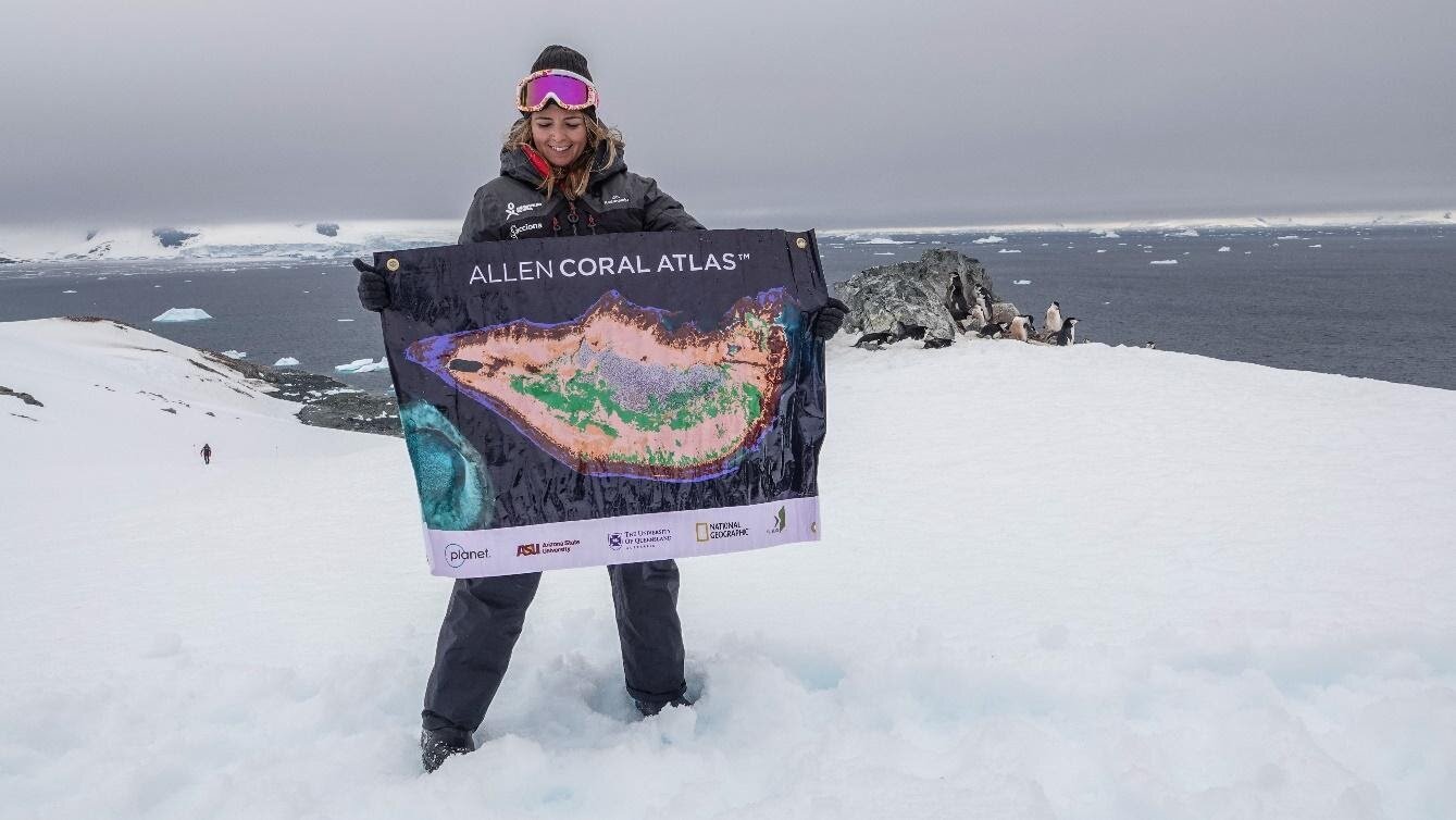
Dr Emma Kennedy during her recent expedition to Antarctica (photo: Allen Coral Atlas)
An Allen Coral Atlas Antarctic adventure
Dr Emma Kennedy recently took time out from mapping coral reefs to participate in a ground-breaking expedition to Antarctica with Homeward Bound and a diverse group of 99 women from STEMM related fields, to learn how to better protect the planet. Homeward Bound provides expert-led training to equip cohorts of potential future leaders with the knowledge and support to lead “for the greater good”
Emma said the greatest leadership lesson she learned was how to convert despair over coral reefs into determination. “I'd become overwhelmed by how impossibly big our challenge was for coral reefs. Most coral reefs have degraded significantly in my lifetime, and even if we adhere to Paris Climate Agreement, we're on track to lose 70-90% in the next 30 years as the planet warms.”
Thank you Emma for working so hard to ensure that we don’t lose our coral reefs!