Posters & Flyers
Remote Sensing Research Centre
The Remote Sensing Research Centre uses images collected from satellites and aircraft, field-work and spatial models to better understand and manage the earth's environments and resources.

Poster

Flyer
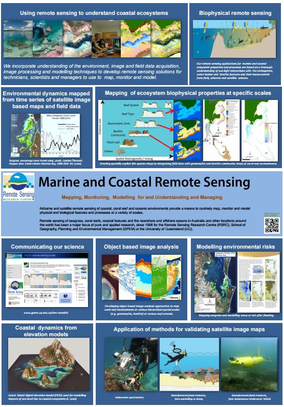
Marine & Coastal Remote Sensing
Airborne and satelite remote sensing of coastal, coral reef and oceanic environments provide a means to routinely map, monitor and model physical and biological features and processes at a variety of scales.
Poster